
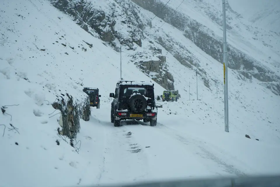
Go with us: Winter Spiti 4x4 expedition (9 days, from ₹32,999)
There is one winter road into Spiti, and our winter trip follows it up and back: Delhi, Shimla, Narkanda, Rampur, Kinnaur, Nako, Tabo and Kaza. This guide gives the distance and drive time of each day, the height you sleep at, and what the route leaves out in winter.
The route, day by day
Distances are approximate and the plan changes with the weather. Drive times are from the winter itinerary.
| Day | Route | Distance | Drive time | Night |
|---|---|---|---|---|
| 1 | Delhi to Shimla by overnight AC Volvo | - | 8 to 9 hours | On the bus |
| 2 | Shimla to Narkanda, via Kufri and Theog | about 65 km | 2 to 3 hours | Narkanda |
| 3 | Narkanda to Kalpa, via Rampur, Jeori and Wangtu | about 165 km | 6 to 7 hours | Kalpa or Sangla |
| 4 | Kalpa to Tabo, via Khab Sangam and Nako | about 150 km | 5 to 6 hours | Tabo |
| 5 | Tabo to Kaza, via Dhankar, with Pin Valley when open | about 110 km | 5 to 6 hours | Kaza |
| 6 | Kaza: Key, Chicham Bridge, Kibber, Langza, Hikkim, Komic | 60 to 80 km | Short drives | Kaza |
| 7 | Kaza to Kalpa, through Tabo and Nako | about 210 km | 7 to 8 hours | Kalpa |
| 8 | Kalpa to Shimla, down the Sutlej valley | about 220 km | 7 to 8 hours | Shimla or transit |
| 9 | Shimla to Delhi | about 350 km | 8 to 10 hours | Trip ends |
Shimla to Kaza in numbers
The four driving days from Shimla to Kaza add up to about 490 km: 65, 165, 150 and 110. That is 18 to 22 hours behind the wheel, spread over days 2 to 5.

How the height builds
The trip gains height in steps. You sleep at about 2,700 m in Narkanda on day 2 and about 2,960 m in Kalpa on day 3. On day 4 the road passes Nako, at about 3,660 m, before dropping to Tabo, which is over 3,000 m. On day 5 you reach Kaza, at about 3,650 m, and spend two nights there. The high villages on day 6, Hikkim, Langza and Komic, sit between 4,400 and 4,513 m, so the itinerary asks you to avoid overexertion while you acclimatise.
Why the route is not a loop
In summer you can drive on from Kaza over Kunzum Pass and Chandratal to Manali. In winter Kunzum Pass and the Manali road are closed by snow, so every winter trip is a half circuit: in through Kinnaur and back the same way.

What is off the route in winter
- Kunzum Pass, which is closed by snow
- Chandratal Lake, which is reached over Kunzum Pass
- The road from Manali to Kaza
- Pin Valley, which is visited only when its road is open
How cold it is along the way
Temperatures and snow days are modelled averages for 2015 to 2025 (ERA5 weather data through Open-Meteo), set to the height of each place. They are not thermometer readings, so use them to compare places and months, not as a forecast.
| Where | December | January | February |
|---|---|---|---|
| Narkanda, about 2,700 m | -2°C night, 8°C day | -4°C night, 5°C day | -3°C night, 7°C day |
| Kalpa, about 2,960 m | -8°C night, 2°C day | -9°C night, -1°C day | -9°C night, 0°C day |
| Kaza, about 3,650 m | -14°C night, -4°C day | -15°C night, -7°C day | -14°C night, -7°C day |

Questions
How far is Kaza from Shimla in winter?
About 490 km by the only winter road, driven over four days: Shimla to Narkanda, Narkanda to Kalpa, Kalpa to Tabo and Tabo to Kaza.
How many kilometres is the whole winter Spiti trip?
About 1,350 km from Delhi to Delhi over 9 days.
Which route is open to Spiti in winter?
Only the road from Shimla through Kinnaur. Kunzum Pass and the Manali side are closed by snow.
Where is the highest point of the winter trip?
Komic, at 4,513 m, on the sightseeing day from Kaza.


