
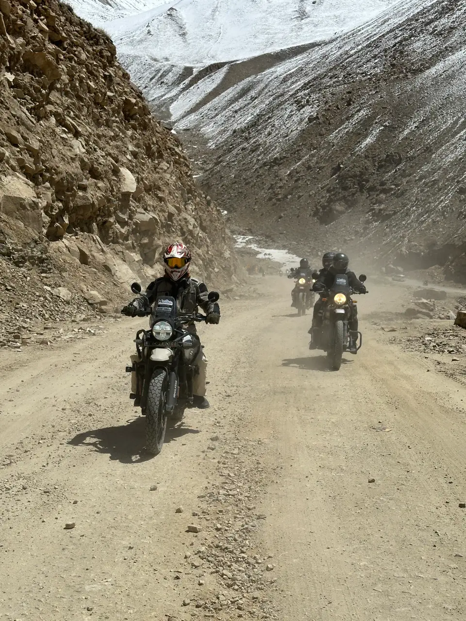
The Manali to Leh highway is one of the best-known road journeys in India. It crosses several high passes between Himachal Pradesh and Ladakh and is open only part of the year. Our Ladakh trips start and end in Leh, so they do not use it, but it is a common question.
Manali to Leh at a glance
| Fact | Detail |
|---|---|
| Length | About 428 km via the Atal Tunnel; older sources say about 473 km over Rohtang |
| Start and end | Manali, about 1,950 m, to Leh, about 3,500 m |
| Highest point | Tanglang La, about 5,300 m |
| Passes | Include Baralacha La, Lungalacha La and Tanglang La |
| Time | Two days is usual, with a night at Keylong, Jispa or Sarchu |
| Usually open | May to October, depending on snow |
| State line | At Sarchu, between Himachal Pradesh and Ladakh |
The route
From Manali the road goes through the Atal Tunnel to Sissu and on to Keylong, Jispa and Darcha in Lahaul. It then climbs over Baralacha La and the other passes towards Sarchu, crosses into Ladakh, and continues over Tanglang La to Upshi and Leh. The Border Roads Organisation built and maintains it.
North of Darcha the greenery disappears, the slopes turn brown and dry, and glaciers melt across the road in the afternoon, so the water is deeper late in the day.
The altitude risk of going by road
Flying to Leh takes you from low ground to about 3,500 m in a few hours. Driving from Manali climbs more slowly, but the nights are spent high: Sarchu is at about 4,200 m, much higher than Leh. Sleeping there before Leh is a bigger jump than most people expect.
Whichever way you arrive, plan a rest day in Leh. A night at Keylong or Jispa, which are lower, is gentler than Sarchu.
Weather and water crossings
Days are warm in the sun and the nights are very cold, even in summer. Snow and rain can make the road slushy or slippery, and several streams cross it without a bridge. Fast, ice-cold water is the main hazard on a bike, so cross early in the day and with a group.
Do MountainBea trips use the Manali to Leh road?
No. Our Ladakh trips, the Leh Ladakh bike trip and the Moon Land tour, start and end in Leh. You fly to Leh, rest on day 1 and ride or drive from there, with permits and a mechanic or driver included. If you want the Manali to Leh road itself, plan it as a separate trip and check the current road status before you go.
Leh Ladakh bike tripReaching Ladakh from DelhiTour or self-ride: how to decide
Questions
How far is Leh from Manali?
About 428 km via the Atal Tunnel. Older sources quote about 473 km over Rohtang.
How many days does Manali to Leh take?
Two days is usual, with a night at Keylong, Jispa or Sarchu. Some people take three to ease the altitude.
When is the Manali to Leh road open?
Usually from May to October, depending on snow. Check the current status before you go.
What is the highest pass on the Manali to Leh road?
Tanglang La, at about 5,300 m.
Is the Manali to Leh road safe for bikes?
It is ridden every summer, but it has high passes, cold nights and unbridged streams. Ride with a group, start early, and allow time to acclimatise.
Do you run a Manali to Leh bike trip?
No. Our Ladakh trips start and end in Leh.
Is it better to fly to Leh or drive from Manali?
Flying is quicker. Driving is slower and the nights are higher, so it needs more care with altitude. Either way, plan a rest day in Leh.
